Pacific Crest Trail
Things to know

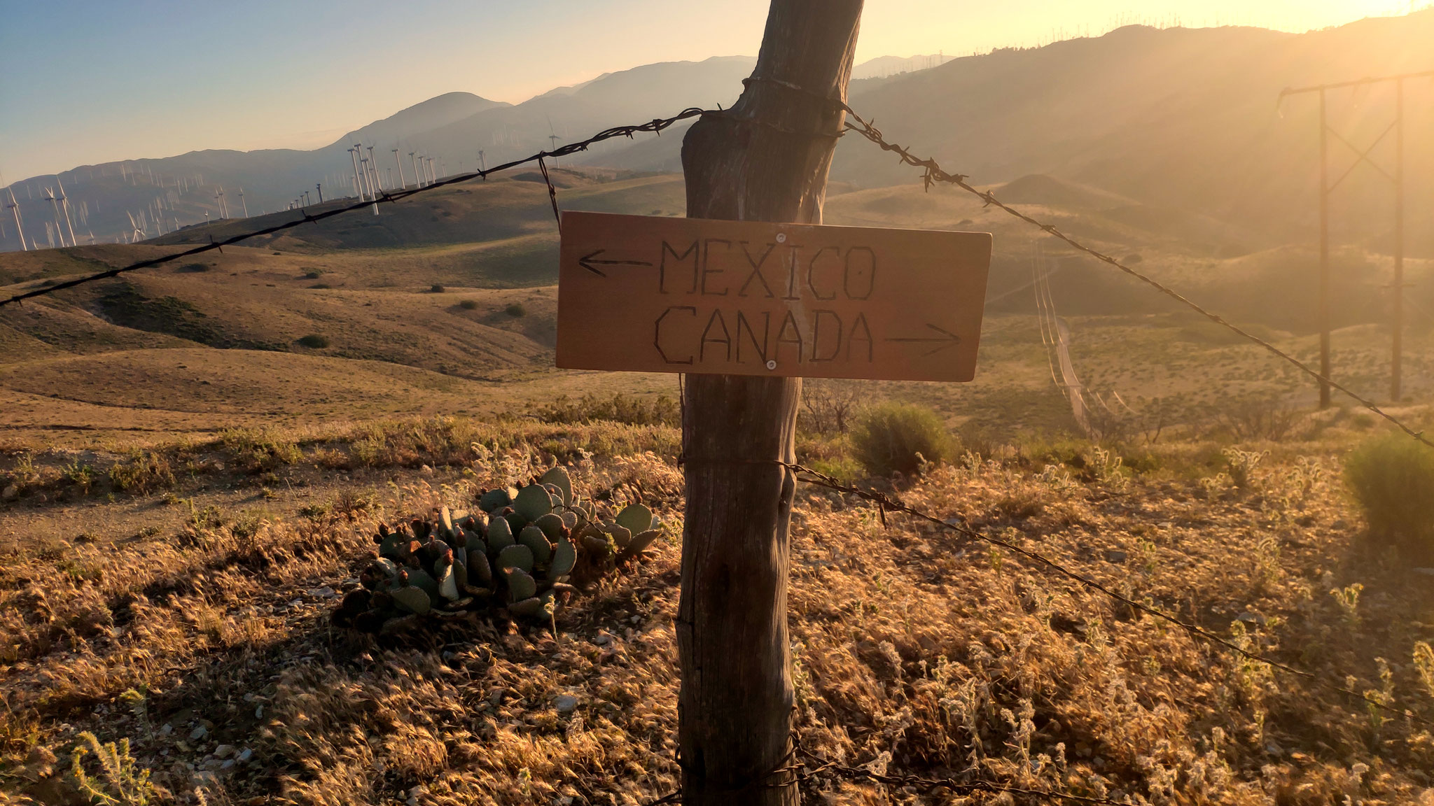
The Pacific Crest Trail, officially designated as the Pacific Crest National Scenic Trail (PCT) is a long-distance hiking and equestrian trail closely aligned with the highest portion of the Sierra Nevada and Cascade mountain ranges, which lie 100 to 150 miles (160 to 240 km) east of the U.S. Pacific coast. The trail's southern terminus is on the U.S. border with Mexico, just south of Campo, California, and its northern terminus on the Canada–US border on the edge of Manning Park in British Columbia; its corridor through the U.S. is in the states of California, Oregon, and Washington.
The Pacific Crest Trail is 2,653 mi (4,270 km) long and ranges in elevation from just above sea level at the Oregon–Washington border to 13,153 feet (4,009 m) at Forester Pass in the Sierra Nevada. The route passes through 25 national forests and 7 national parks. Its midpoint is near Chester, California (near Mt. Lassen), where the Sierra and Cascade mountain ranges meet.
It was designated a National Scenic Trail in 1968, although it was not officially completed until 1993. The PCT was conceived by Clinton Churchill Clarke in 1932. It received official status under the National Trails System Act of 1968.
It is the westernmost and second longest component of the Triple Crown of Hiking and is part of the 6,875-mile Great Western Loop.
(Excerpt from wikipedia)
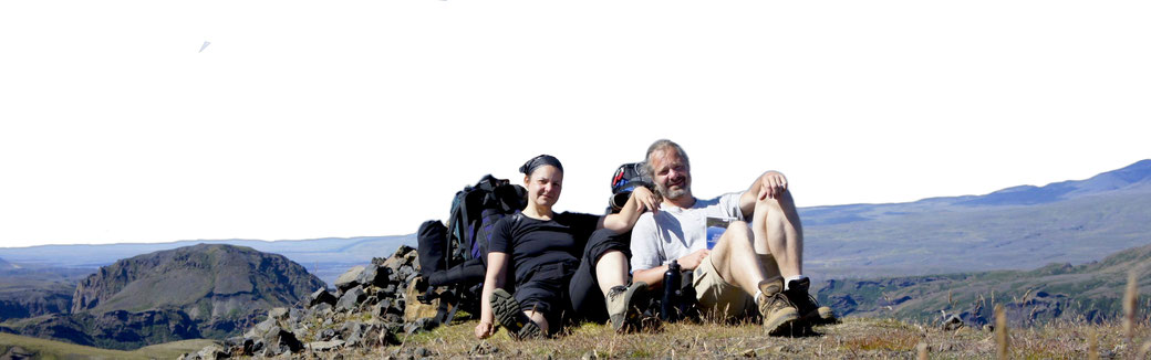
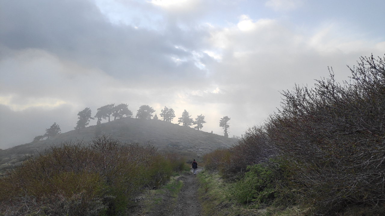
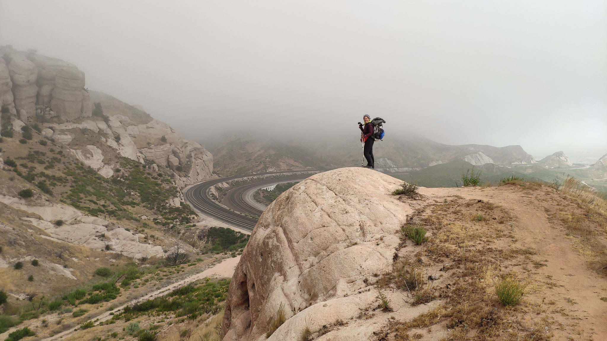
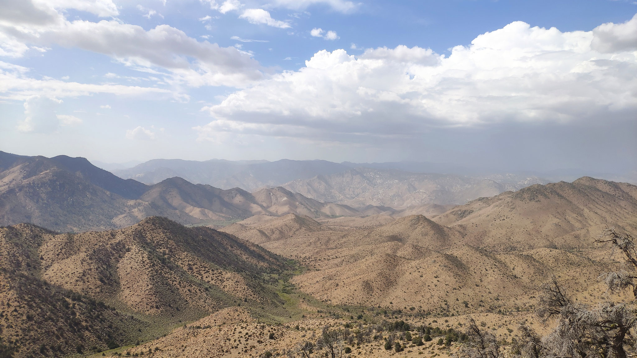
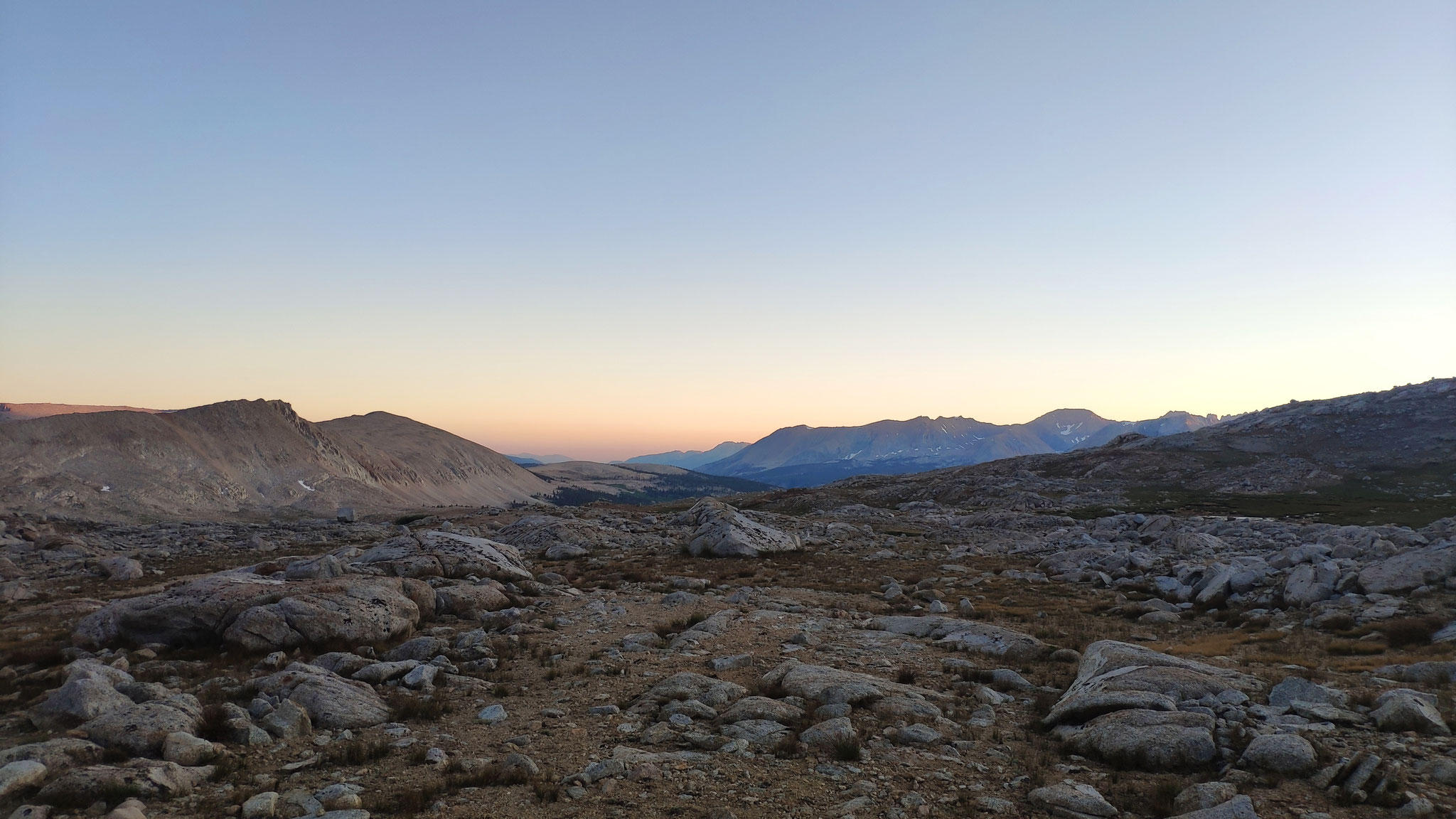
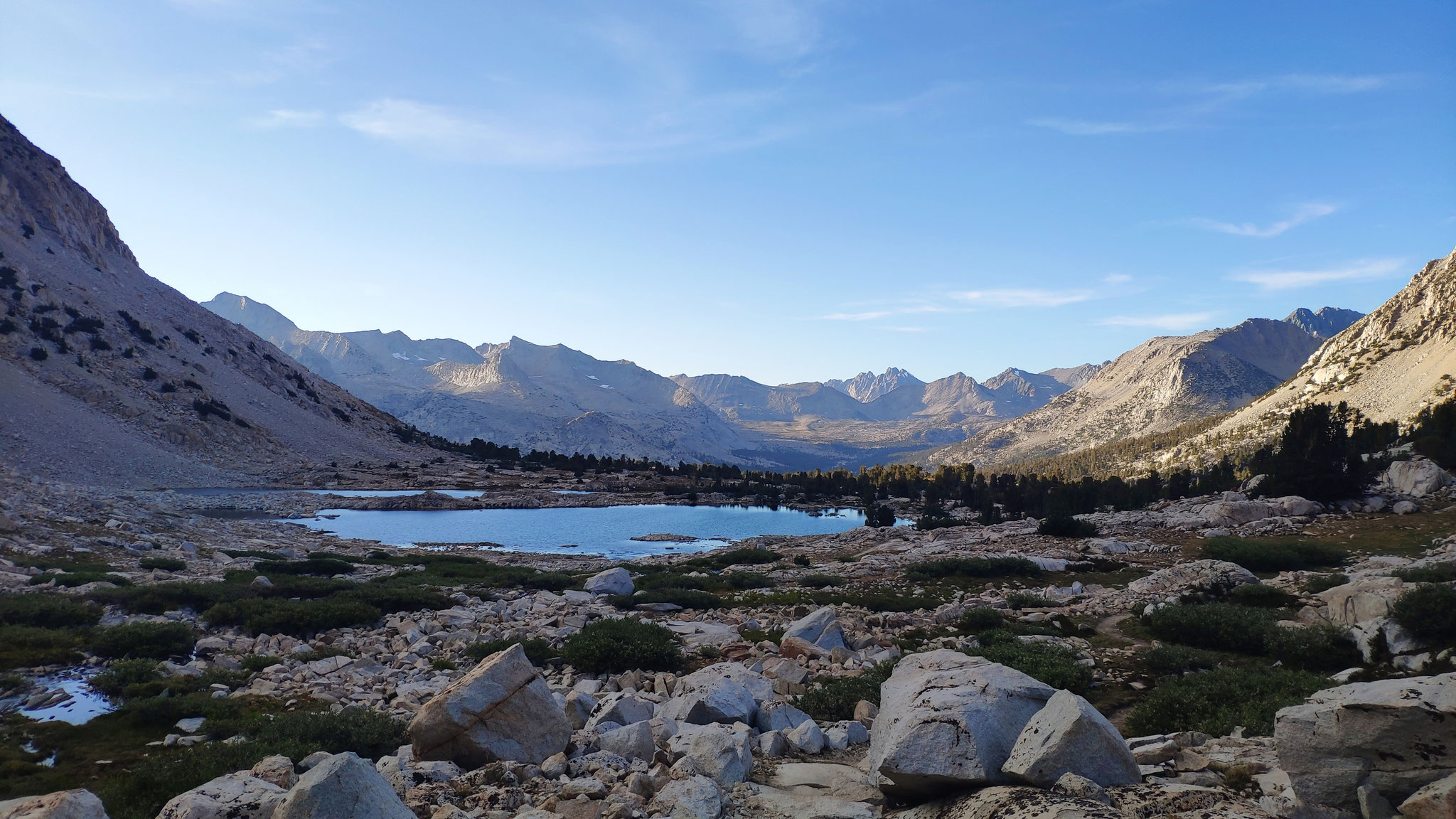
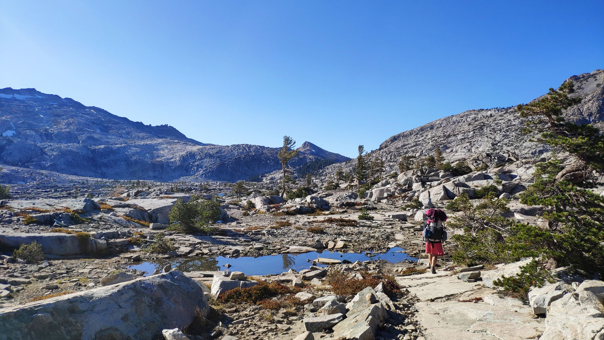
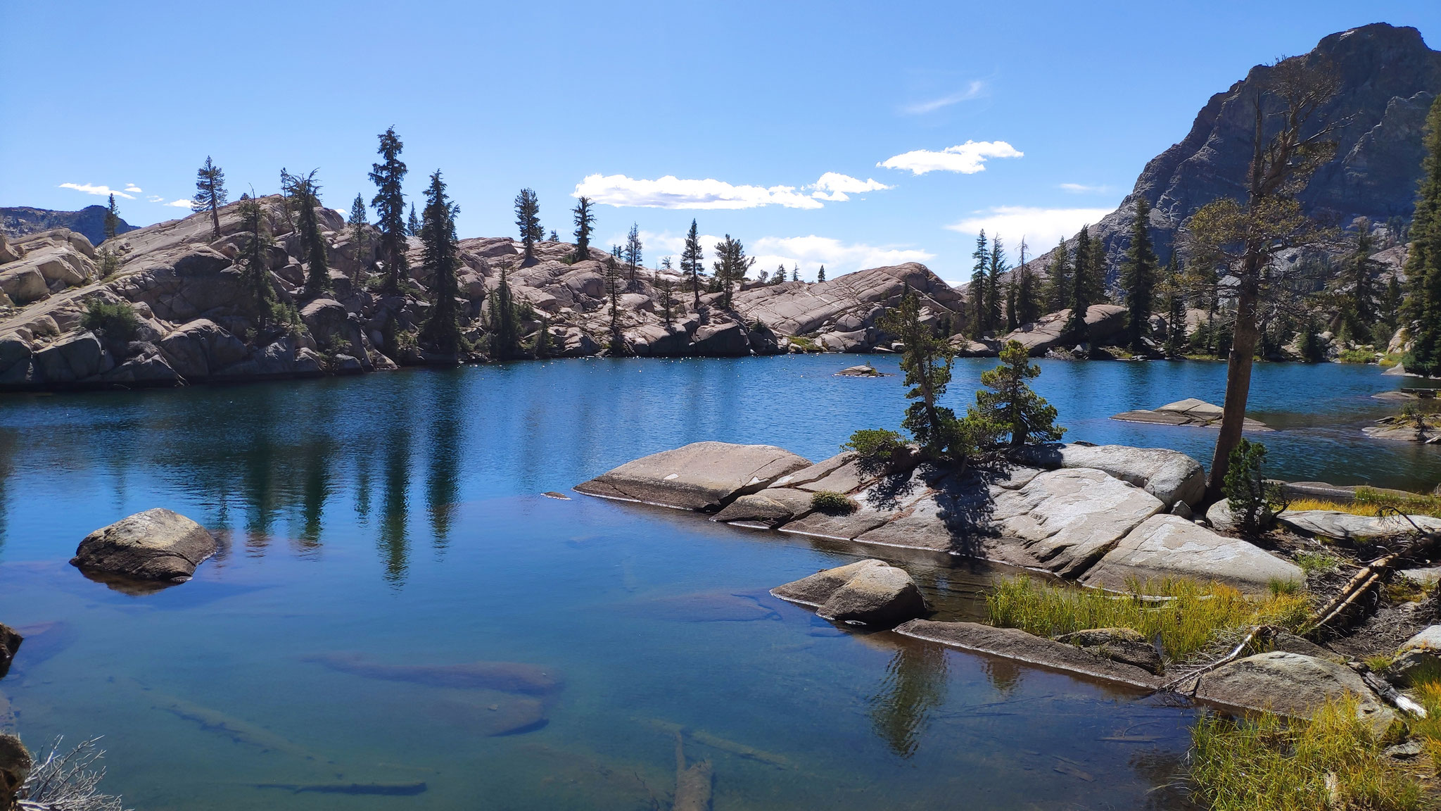
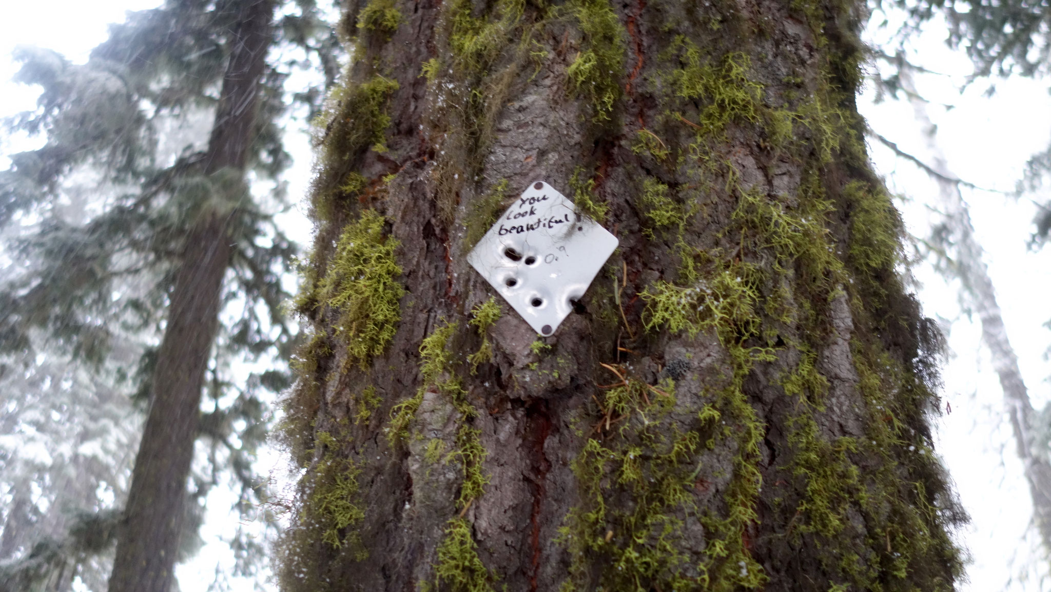
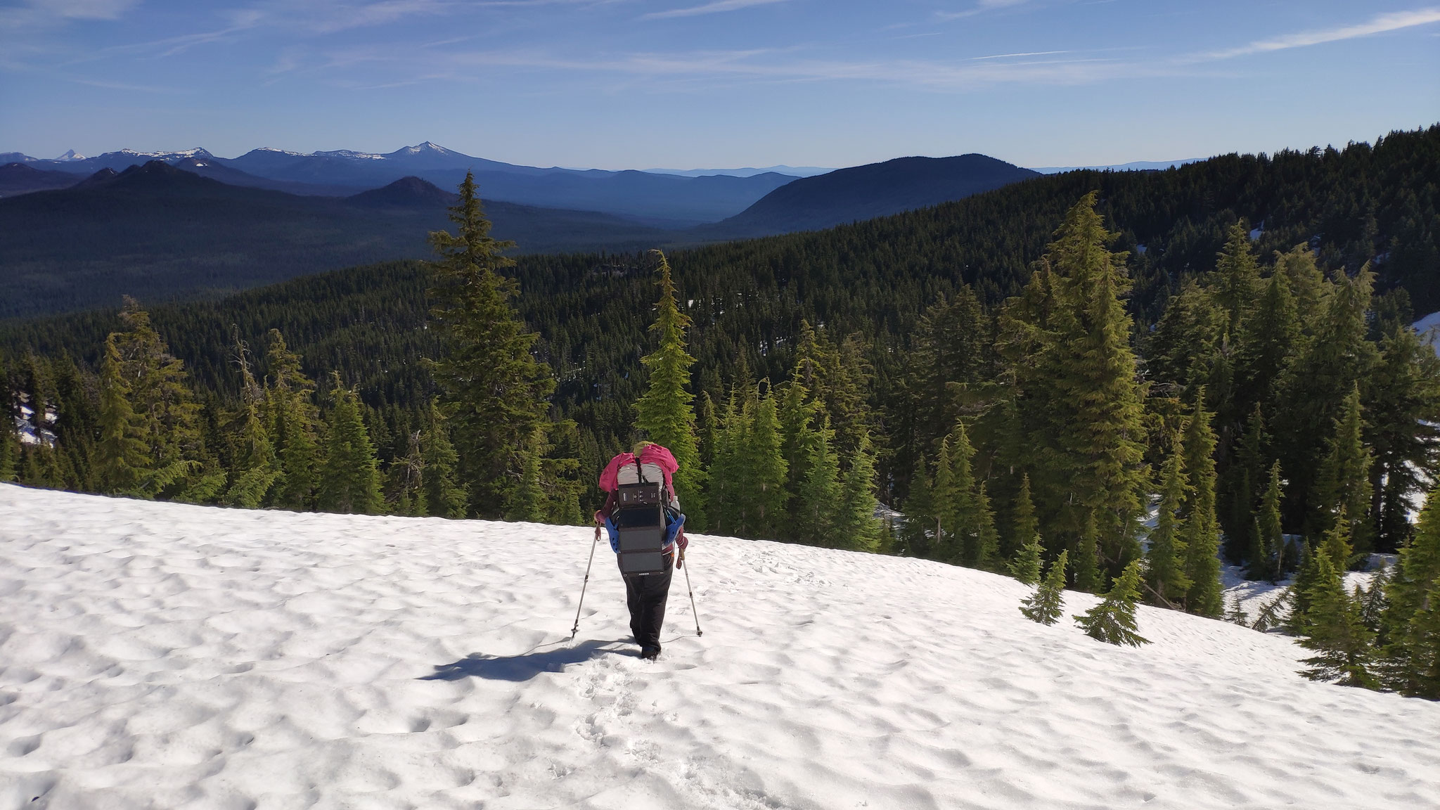
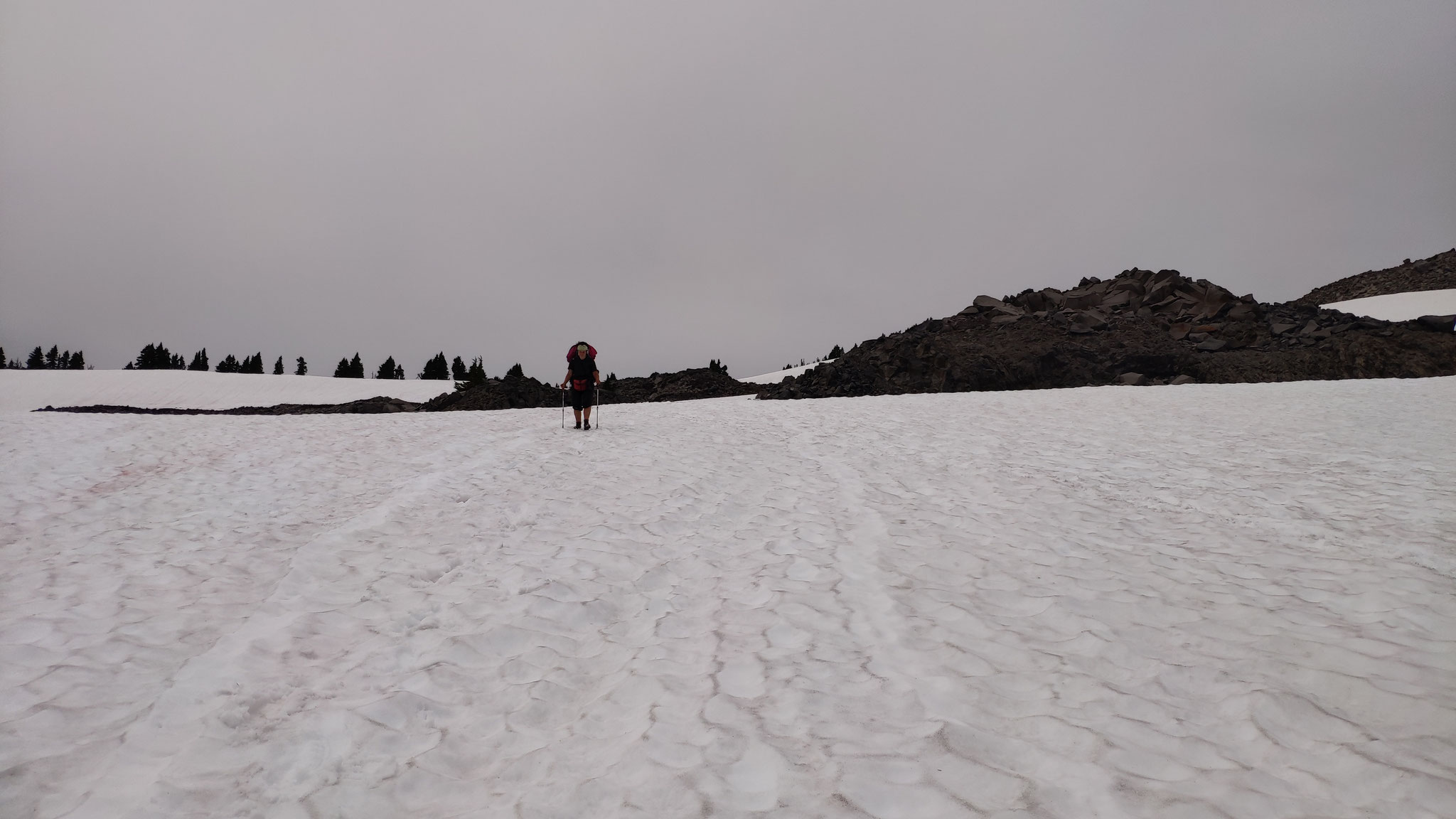
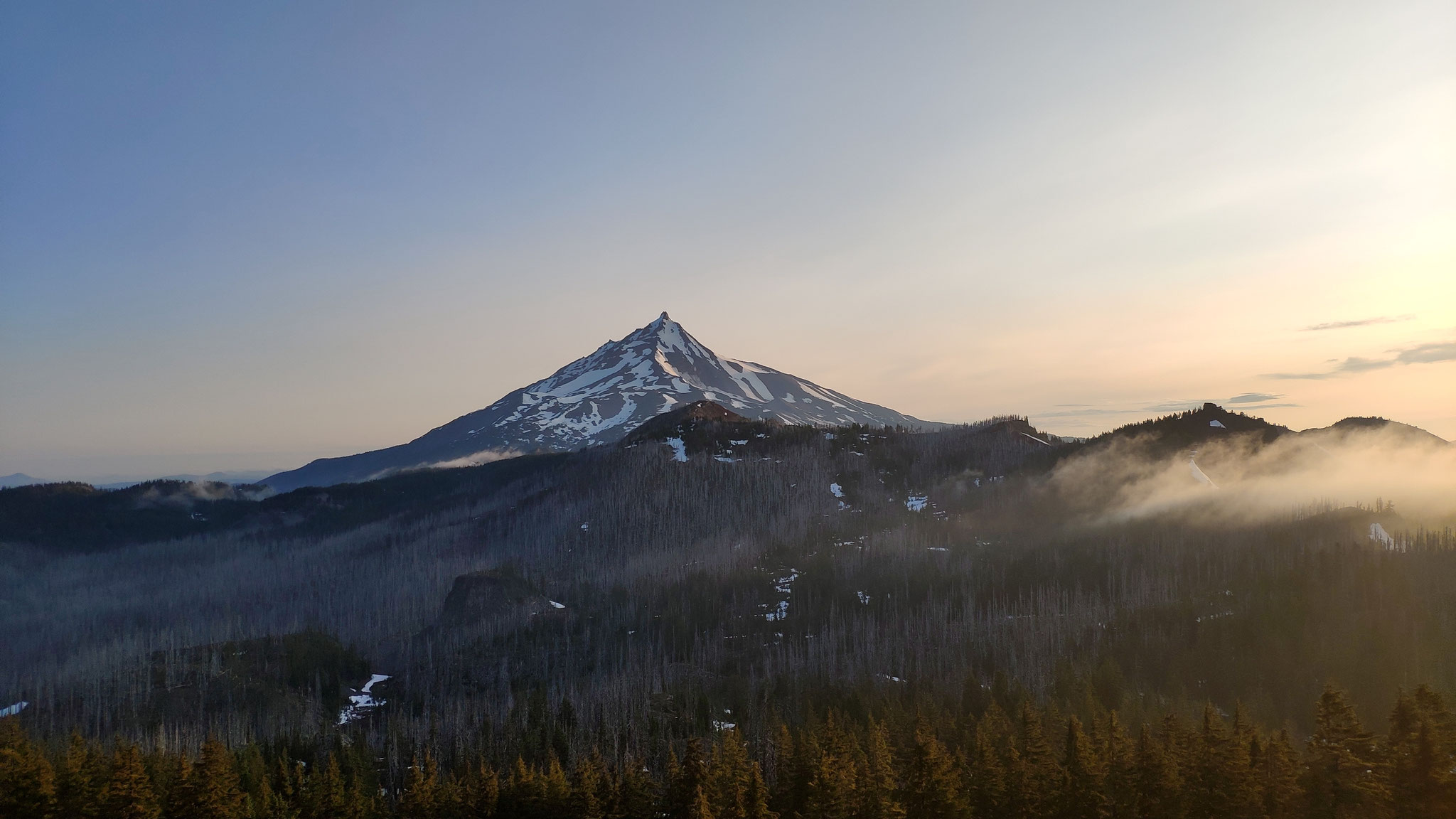
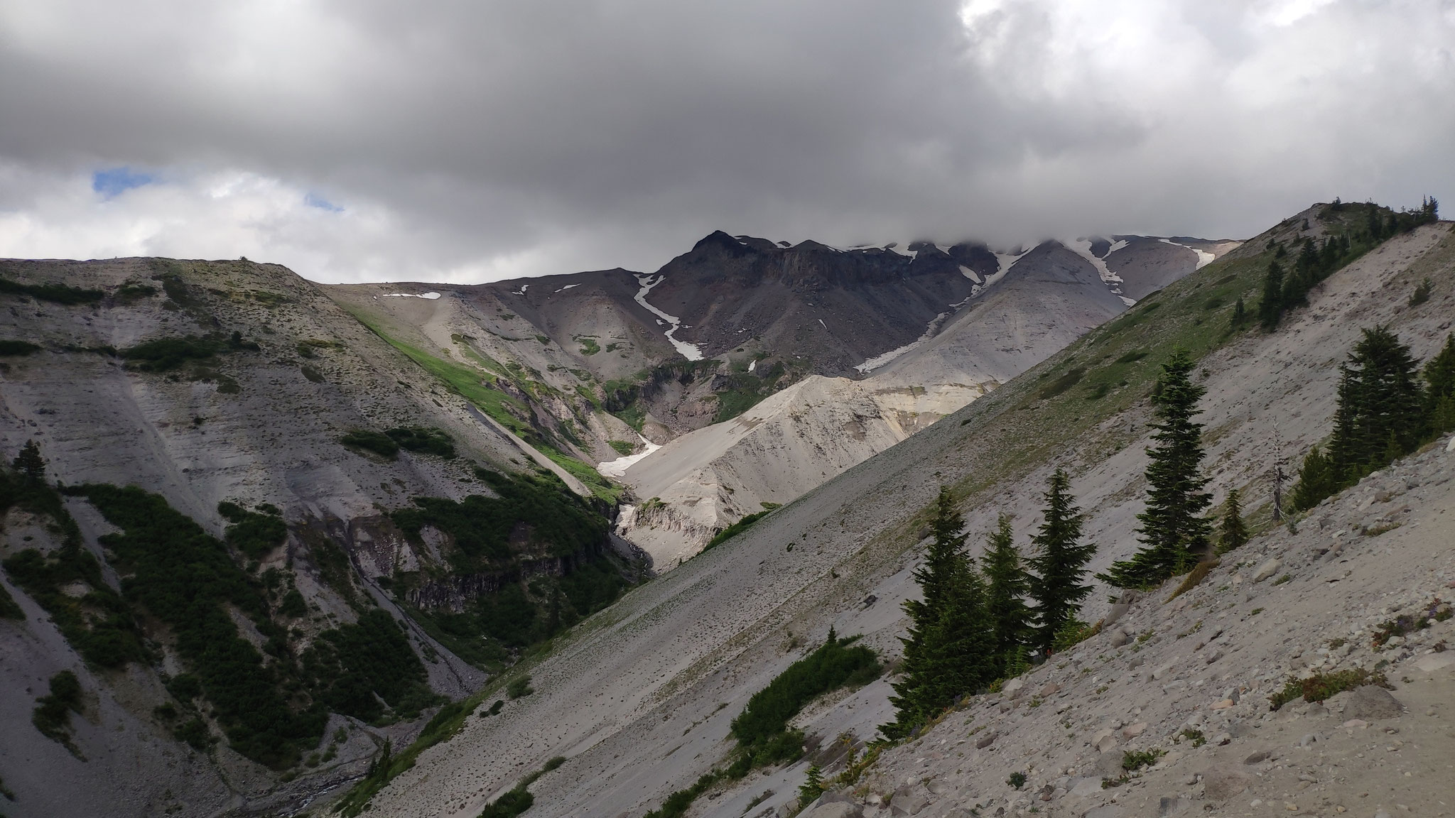
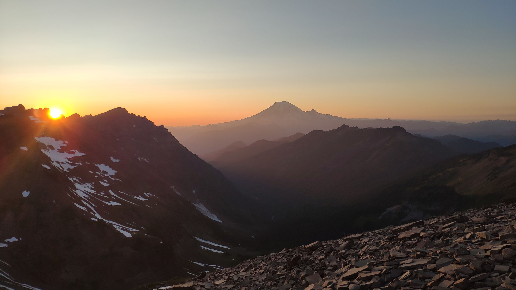
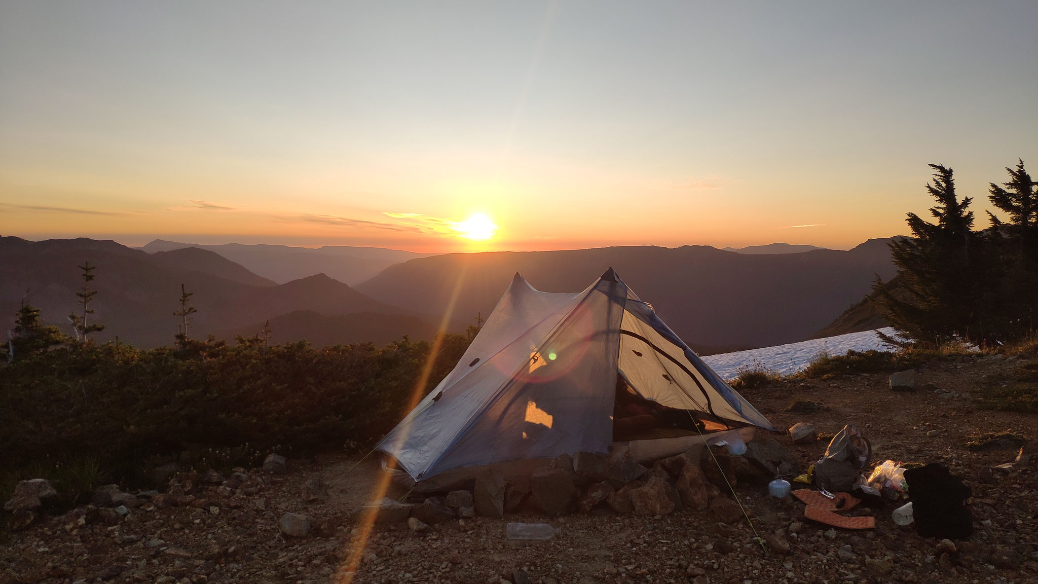
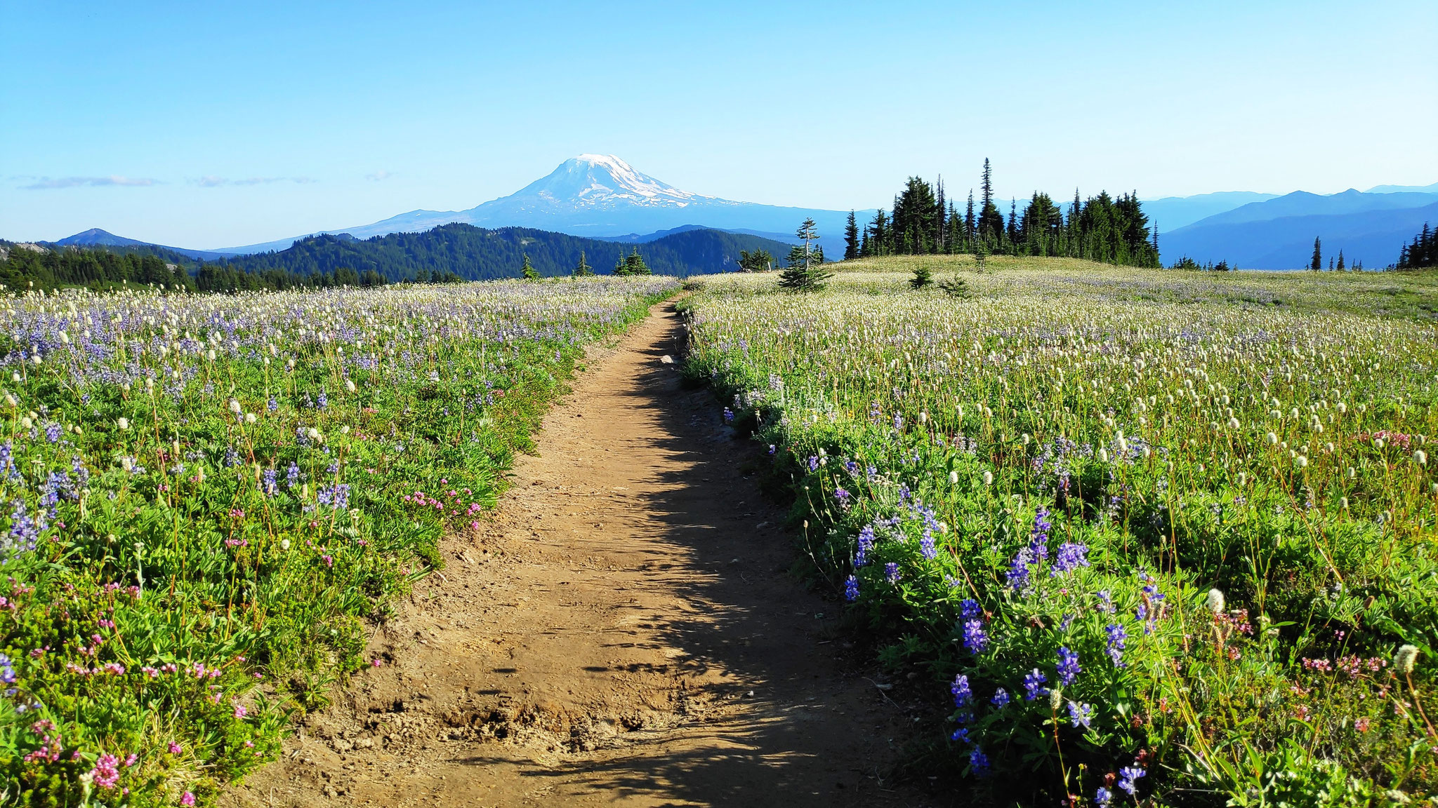
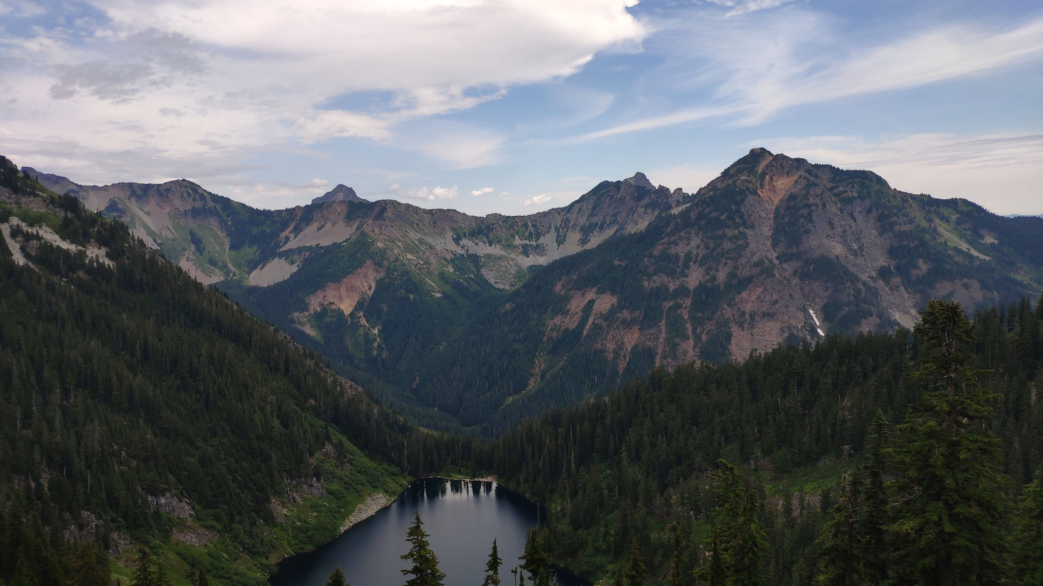
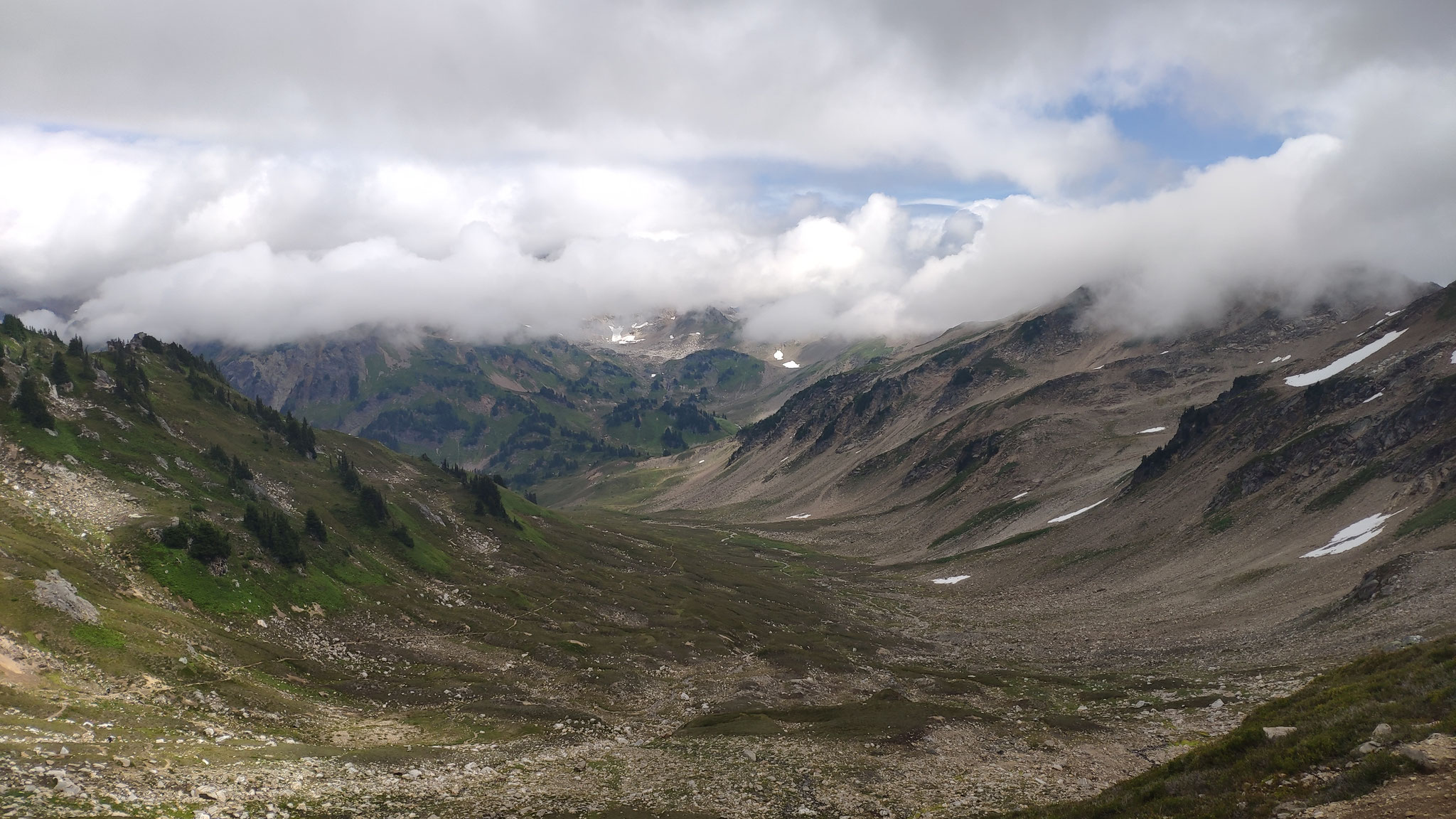
Everyday is like a postcard
Impressions of a hike


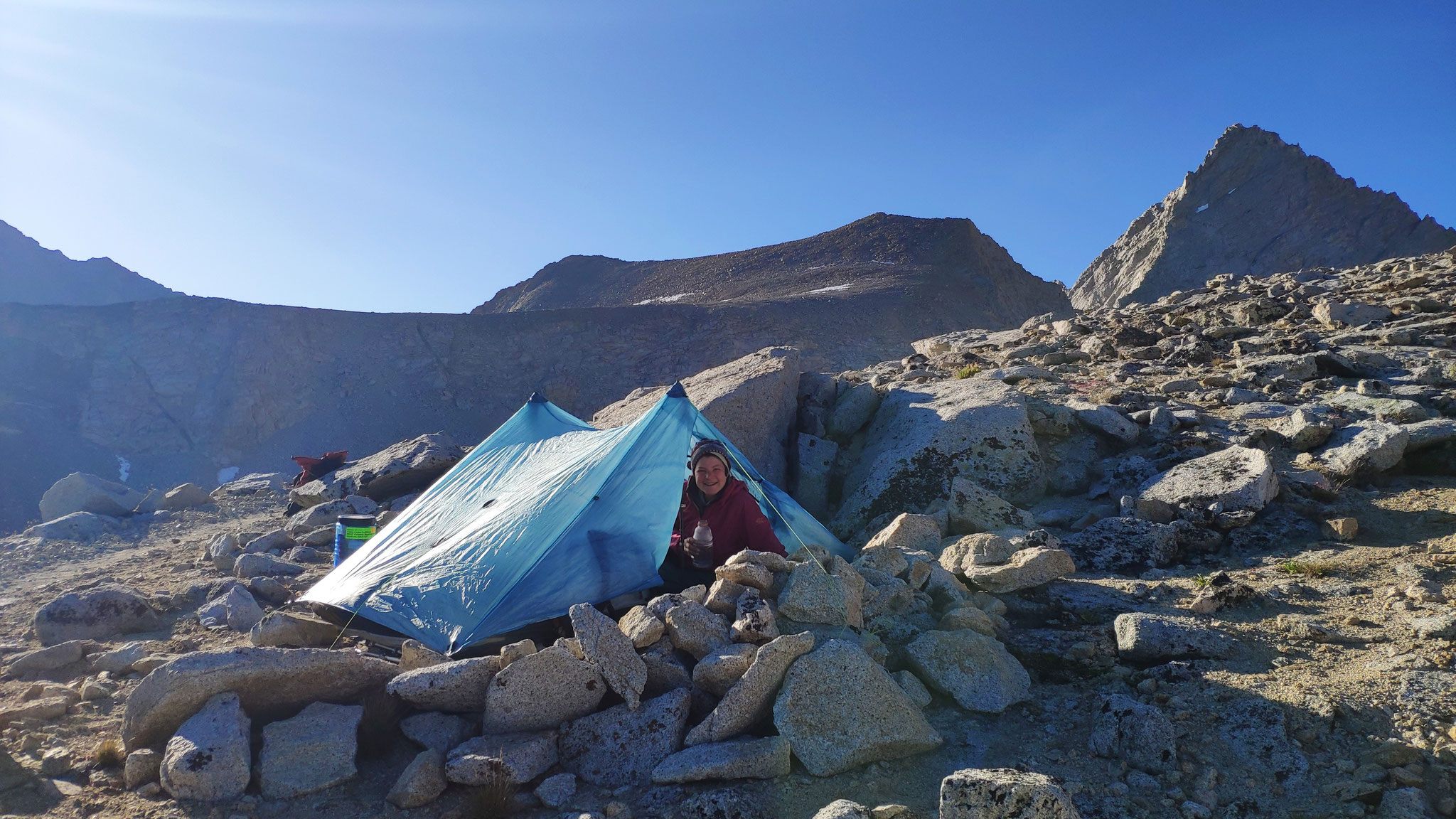


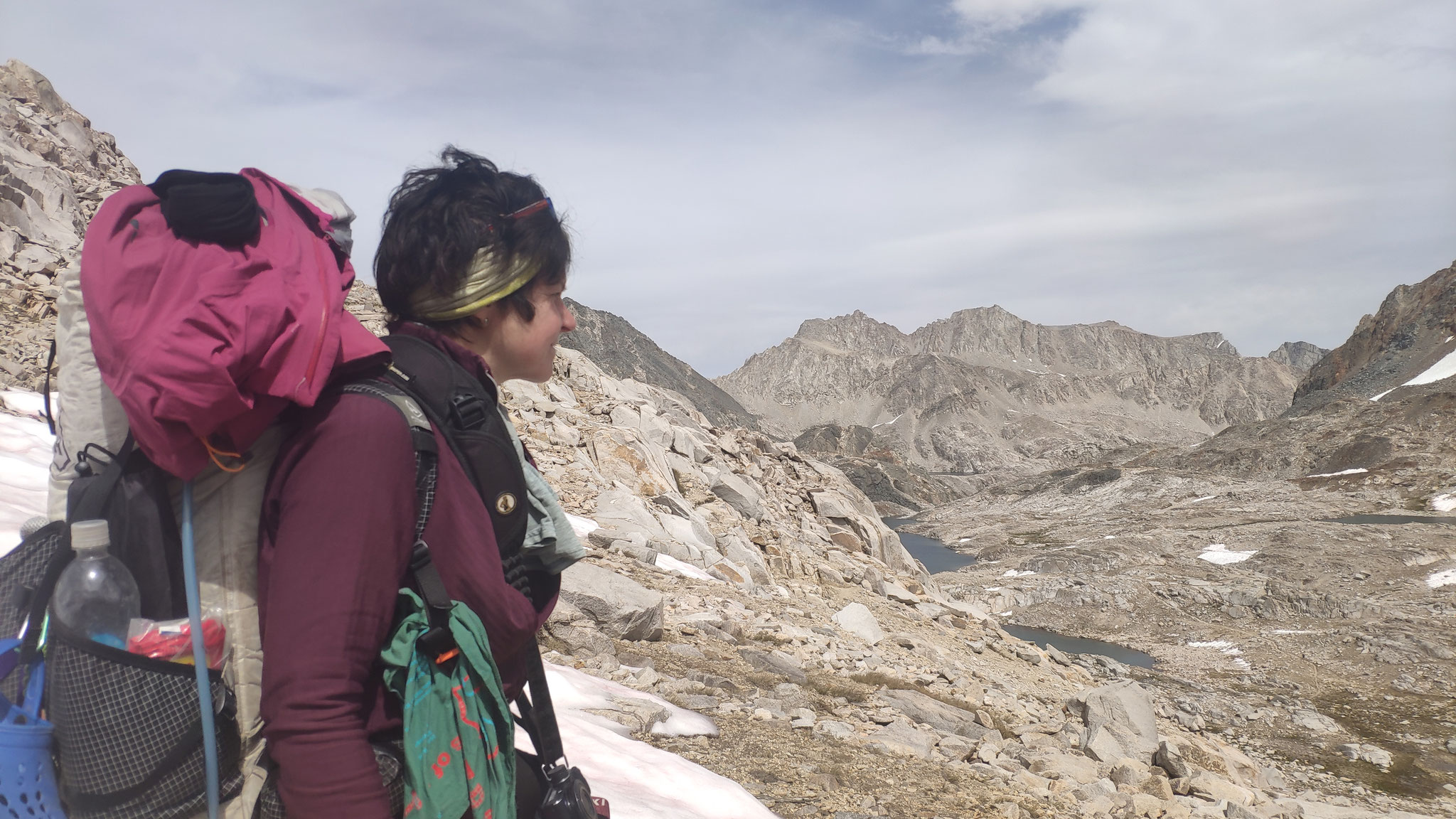
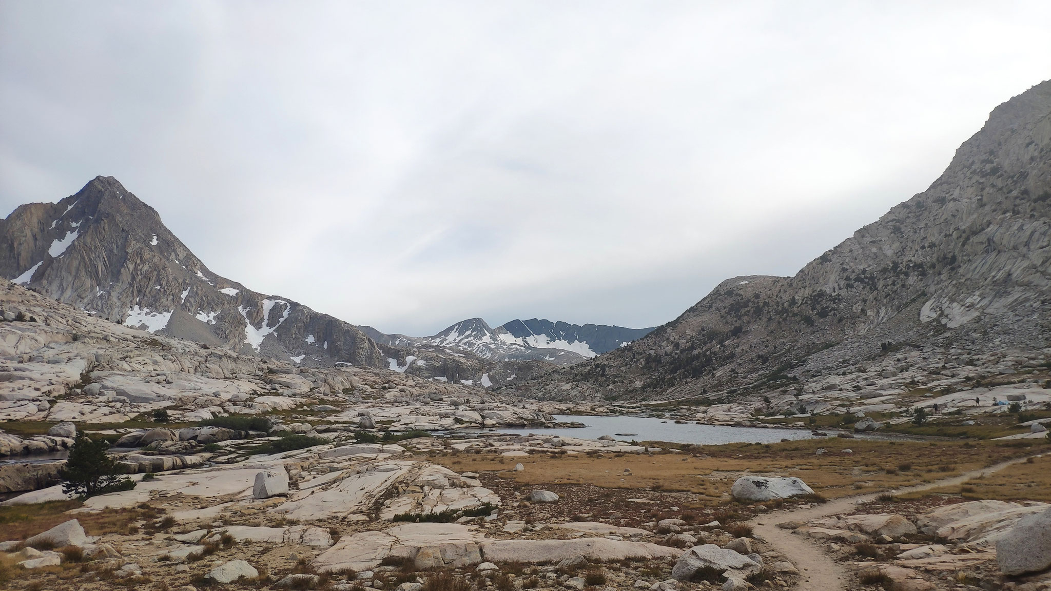
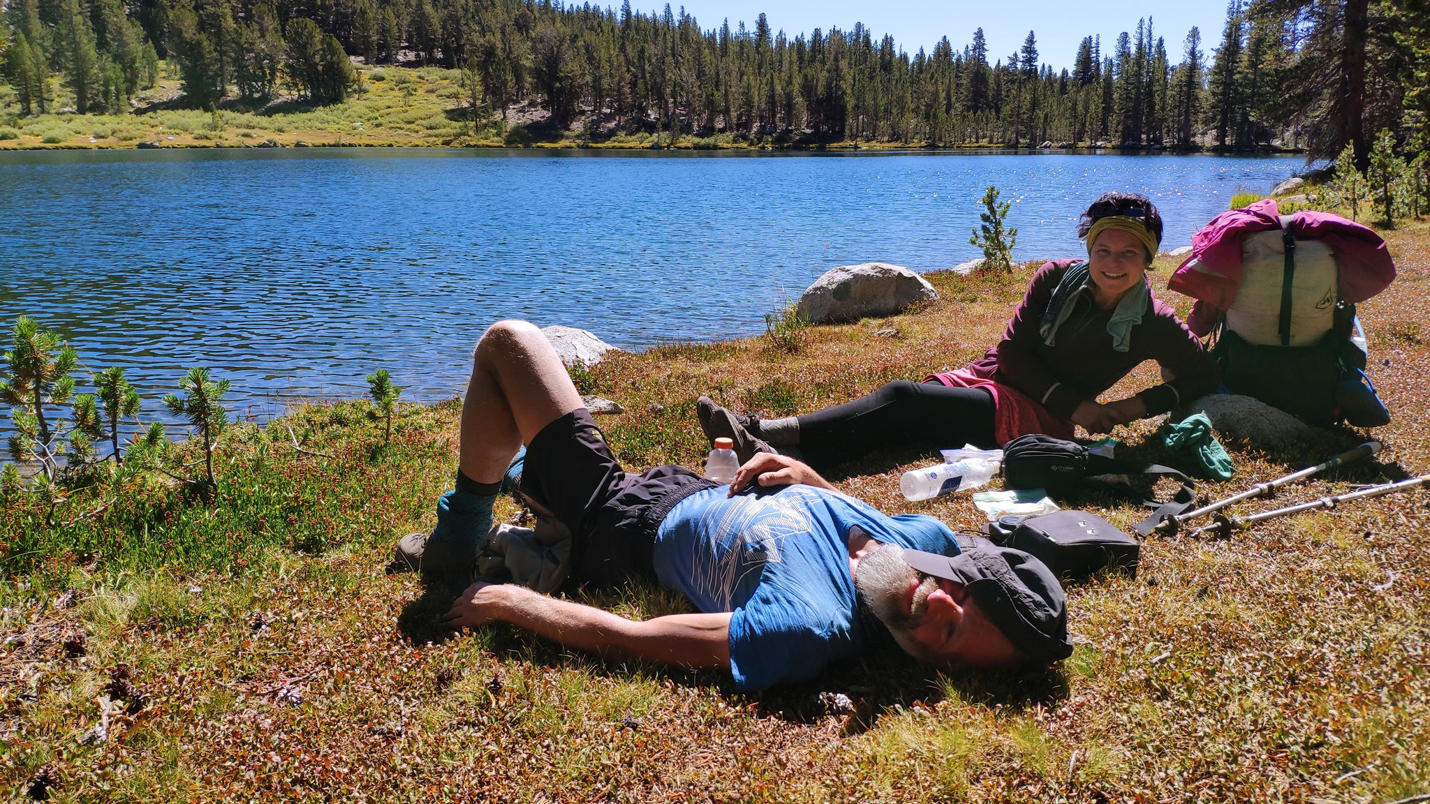
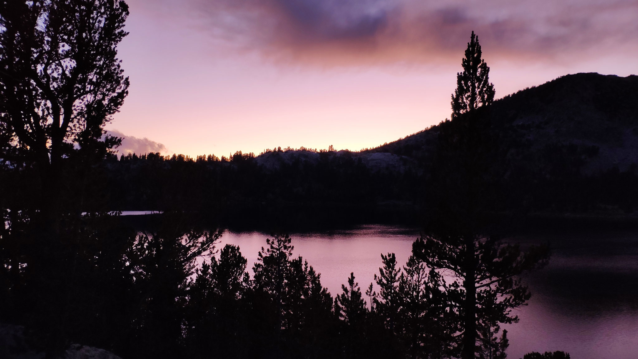
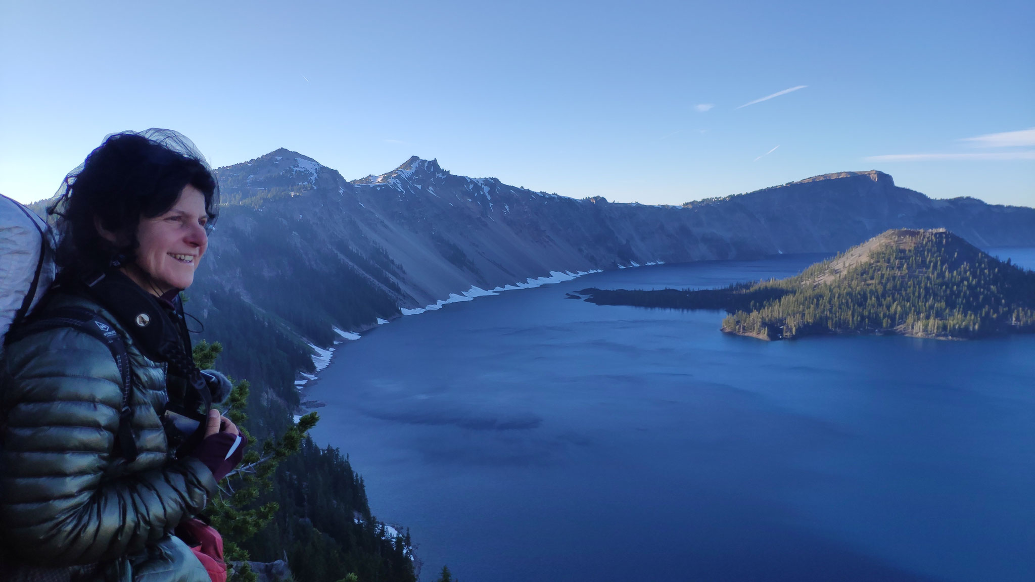


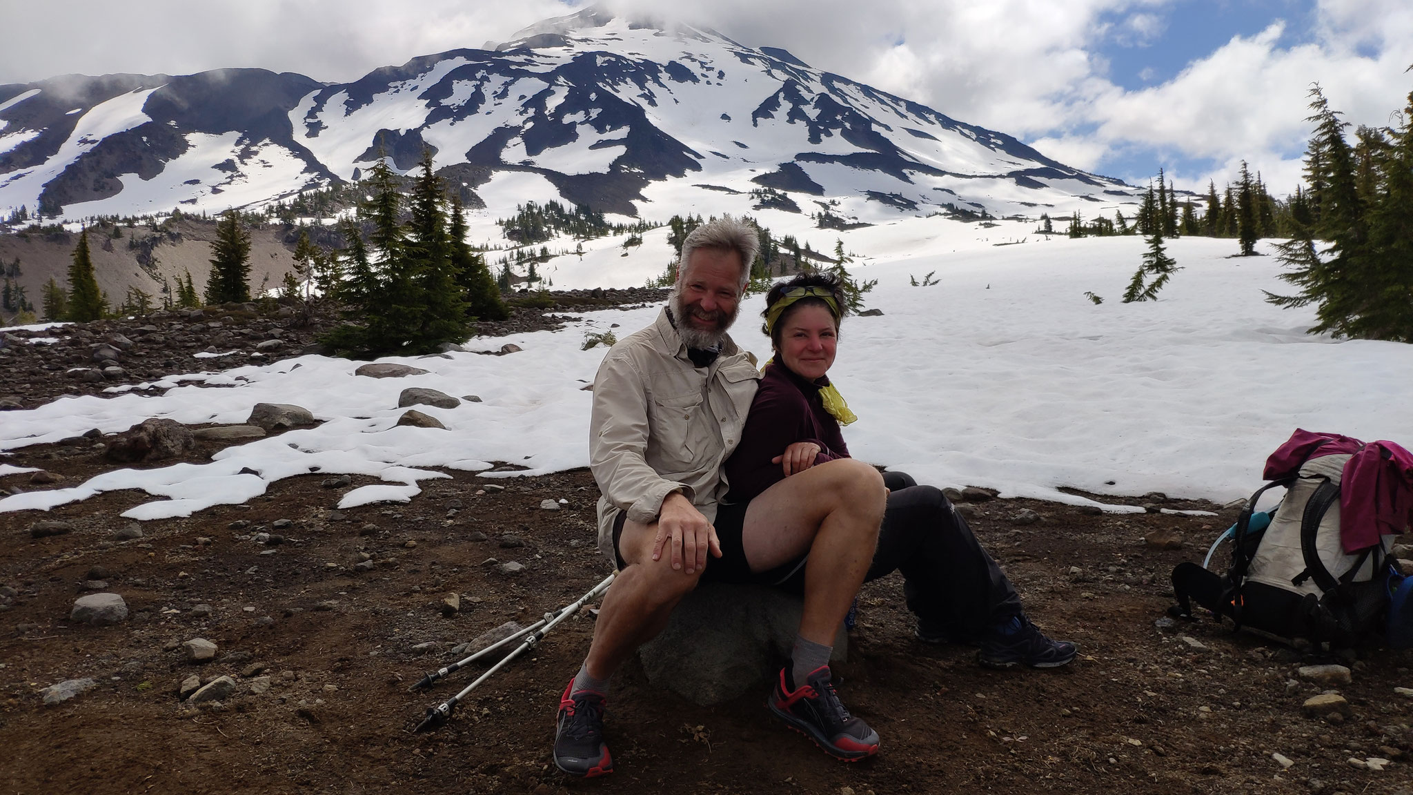

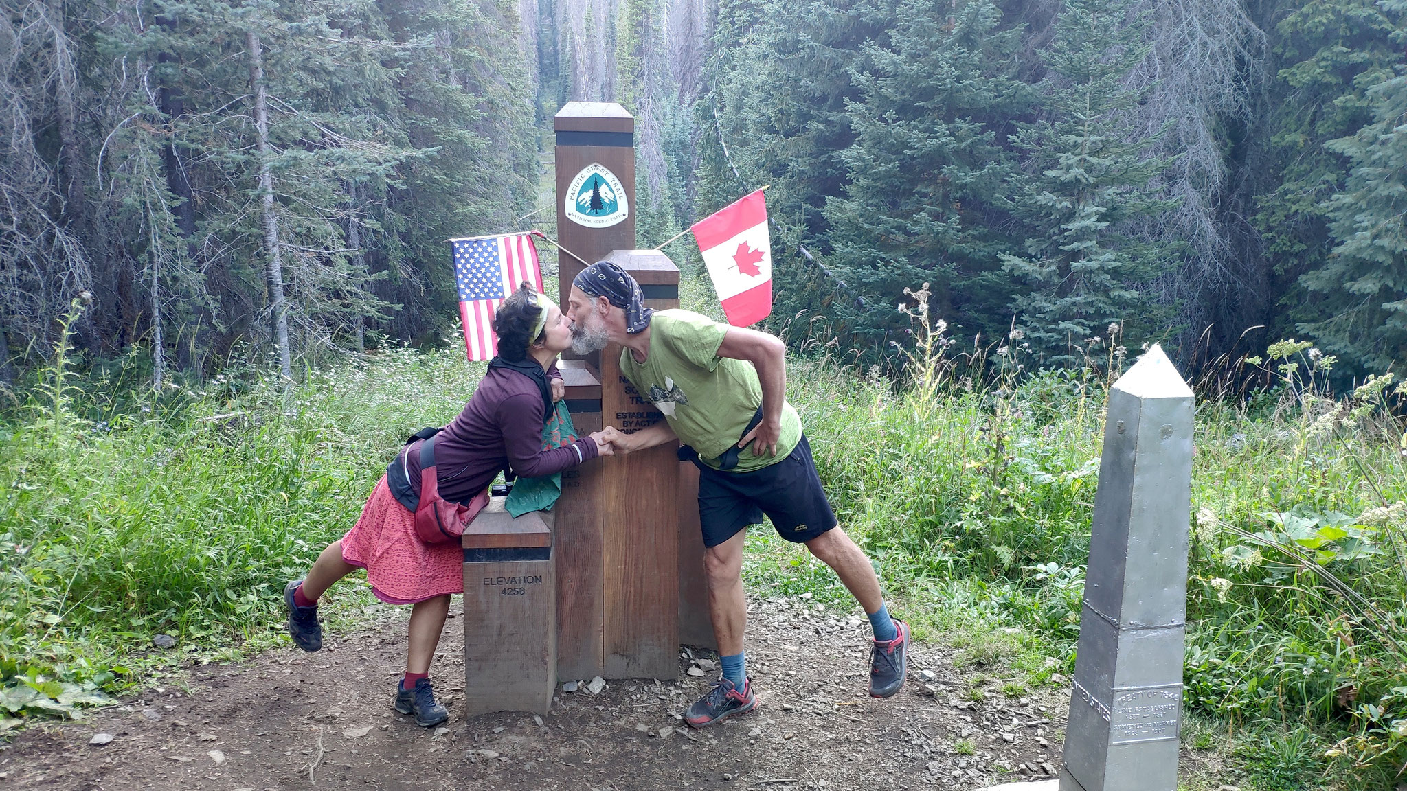


Diary of a selfie.
Each selfie represents one day of hiking on the PCT